top of page

Town & City
Historical
Maps
The Historic Towns Trust publishes historical maps of towns and cities of historic interest.
An historical map is a modern map showing the history of the town — not a reproduction of an old map.
Each of our printed maps include an introduction to the map, and a history of the featured city or town. They also include a gazetteer providing a brief history of the main features shown on the map.
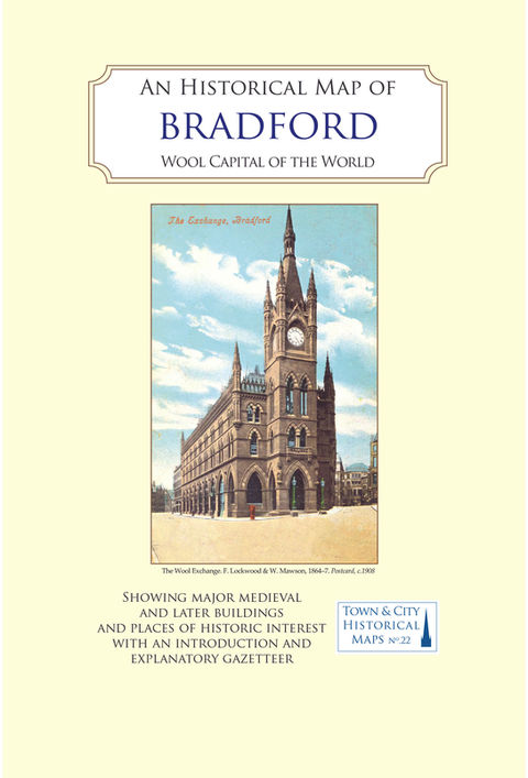
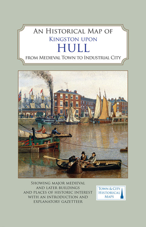
All of our printed maps are at a scale of 1:2500 (about 25 inches to the mile). They carry illustrations in the form of engravings, watercolours or early photographs, and 'topic boxes' related to points of interest specific to the town.
These full-colour maps are produced as a folded sheet in a card cover.

Currently Available
bottom of page


