

About the Trust
Our History
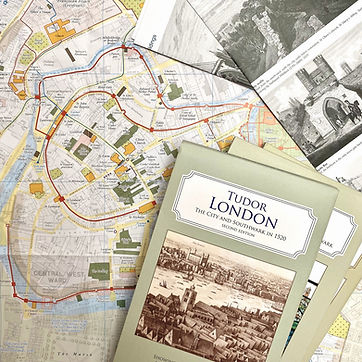
Born out of the destruction of World War II, the British Historic Towns Atlas series is part of a programme founded in 1955 to promote the comparative study of Europe’s metropolitan centres.
Building on that original purpose, the charitable work of the Historic Towns Trust is now focused on inspiring future generations to understand, appreciate and preserve their urban heritage.
The Trust works in partnership with local historians, geographers and archaeologists to publish educational maps and atlases that give everyone a sense of belonging and custodianship.
Our unique multi-layer mapping techniques reveal a new way to visualise the complex development of Britain’s towns, enabling us to better analyse the impact of events and communities over time.
We use our research to develop teaching materials for schools and to engage the public with free talks, empowering them with the knowledge and confidence to influence future decisions about their built environments.
Meet the Trustees
The trustees form our governing body and meet four times a year. Additionally, each trustee is a member of one of three operational committees: Communications, Outreach and Marketing (COM), Programme and Projects (P&P), or Resources. The Executive Steering Committee (ESC) comprises the Chair of Trustees, Honorary Secretary, Honorary Treasurer and the three committee Chairs.


Our Cartographer
Giles Darkes
Giles is a specialist in thematic mapping. Formerly a senior lecturer in cartography at Oxford Brookes University, he has worked with the Historic Towns Trust supervising the mapping and publishing side of the Trust's work since 2009.
