Atlas Volume III
London
Maps to Download
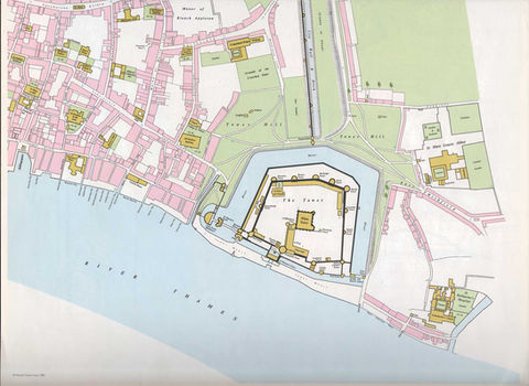
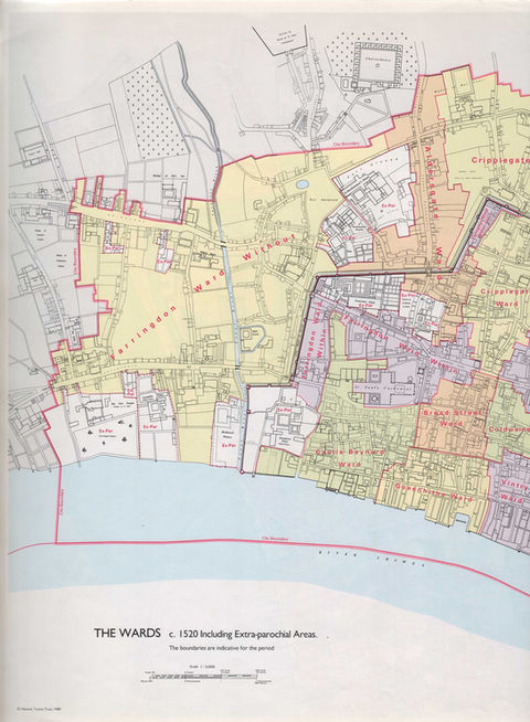
The maps featured on this page are all available to download in full scale as a PDF below.
All maps are © The Historic Towns Trust.
Additional Resources
London
The Historic Towns Trust has made the contents of Atlas Volume III (London from prehistoric times to c.1520) available to download as PDFs. The atlas contains:
Contents and abbreviations
The text, in six chapters
The gazetteer, in three parts
Maps of the City of London from prehistoric times to c.1520
An explanation of what a gazetteer is and how to use it can be found here.
The scales of the maps as printed are as follows:
The Situation of London | Scale 1:250 000
The London Area in Pre-Roman Times | Scale 1:143 000
Roman London | Scale 1:5000
City of London c.1270 | Scale 1:5000
City of London c.1520 (Maps 1 to 4) | Scale 1:2500
Wards c.1520 | Scale 1:5000
Parishes c.1520 | Scale 1:5000
Note that these are the scales at which they were printed in the atlas (and hence compiled for reproduction at that scale), and will not be the scales if you print them out. If you zoom into the PDF, you can't get out any more detail than was on the original maps!


